|
| *****SWAAG_ID***** | 364 |
| Date Entered | 27/11/2011 |
| Updated on | 23/08/2012 |
| Recorded by | Tim Laurie |
| Category | Tree Site Record |
| Record Type | Botanical HER |
| Site Access | Public Footpath |
| Record Date | 25/03/2011 |
| Location | Kisdon Hill. Thwaite Stones. Juniper woodland. |
| Civil Parish | Muker |
| Brit. National Grid | SD 893 990 |
| Altitude | 350m |
| Geology | Talus slope below Underset Limestone. |
| Record Name | MUK138 Kisdon Hill West. Thwaite Stones. Juniper Scrub Woodland. |
| Record Description | The largest area of juniper scrub in Upper Swaledale, this area extends across the steep slopes of Kisdon from Hooker Mill Hole eastward for approximately 700m with a few straggler bushes on the steep slopes above the Pennine Way track to High Kisdon.
The junipers at the top edge of the scrub reach an elevation exceeding 400m but are very distressed, probably from rabbit damage.
Part in care and management of the Woodland Trust who have planted (other tree species?) recently. (NY893990 Centre) |
| Dimensions | See photos |
| Geographical area | Upper Swaledale |
| Species | Juniper |
| Additional Notes | This juniper woodland can be well seen and photographed from the B6270 road. Careful parking required. |
| Image 1 ID | 1434 Click image to enlarge |
| Image 1 Description | Kisdon from Skeugh Gill. | 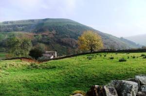 |
| Image 2 ID | 1462 Click image to enlarge |
| Image 2 Description | | 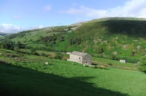 |
| Image 3 ID | 1463 Click image to enlarge |
| Image 3 Description | | 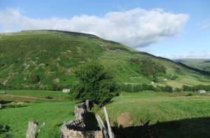 |
| Image 4 ID | 1464 Click image to enlarge |
| Image 4 Description | | 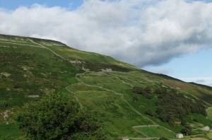 |
| Image 5 ID | 1465 Click image to enlarge |
| Image 5 Description | | 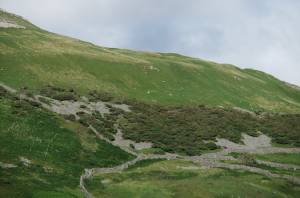 |
| Image 6 ID | 1466 Click image to enlarge |
| Image 6 Description | | 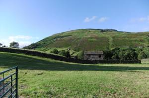 |
| Image 7 ID | 1467 Click image to enlarge |
| Image 7 Description | | 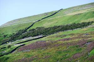 |
| Image 8 ID | 1468 Click image to enlarge |
| Image 8 Description | | 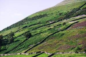 |
| Image 9 ID | 1470 Click image to enlarge |
| Image 9 Description | | 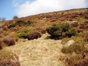 |
| Image 11 ID | 1471 Click image to enlarge |
| Image 11 Description | | 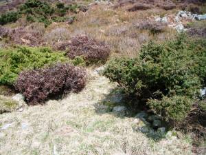 |
| Image 12 ID | 1472 Click image to enlarge |
| Image 12 Description | | 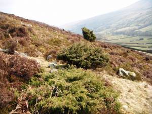 |


